Dr. Matt Nolan
Institute of Northern Engineering
University of Alaska Fairbanks
|
|
Dr. Matt Nolan
Institute of Northern Engineering |
|
McCall Glacier IPY Lake El'gygytgyn IPY Virtual Globes IPY
|
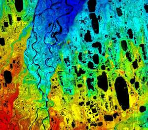
Virtual Globes I have been promoting the use of Virtual Globes in earth sciences for several years. Virtual Globes are on-line, 3D representations of earth that allow users to interactively spin the earth, zoom in or out, and view or add annotations like placemarks, objects, or hyperlinks. Before tools like Google Earth and NASA's WorldWind were available, I developed my own virtual globe, EarthSLOT, with global 15 meter imagery and fairly high resolution digital elevation models, using tools from Skyline Software. My theory was that if we took care of the difficult and expensive aspects of this (merging imagery and elevation data and serving this over the internet) then users would spontaneously begin adding content and sharing it, revolutionizing the way earth sciences are conducted. This theory was confirmed, albeit by Google Earth, and now earth sciences are going through a paradigm shift in terms of the integration of science, collaboration, and outreach due to these tools. Because my scientific focus in on polar regions, EarthSLOT has a polar focus too. With the International Polar Year now started, we have a great opportunity to exploit tese tools. I have been working closely with the IPY headquarters in Cambridge to develop an IPY layer for Google Earth, which we hope to have displayed in the Featured Content layer of Google Earth later this spring. EarthSLOT is also a part of the endorsed IPY project called UArctic. Prior to EarthSLOT, I also created a variety of 3D visualizations for earth science outreach. You can find these here. |
(c) 2003 Matt Nolan. If you find any broken links or other errors, please let me know. Thanks.